Lang Biang in a nutshell
Lang Biang (also written Langbiang) is a mountain in Lac Duong district, about 12 km north of central Da Lat. Its highest peak rises to around 2,100 m, while the city sits at about 1,500 m, so on a clear day you look down over pine forests, farm valleys, greenhouses, Dankia Lake and Da Lat itself. The area around the mountain is part of the Langbiang Biosphere Reserve recognised by UNESCO.
The name comes from a well-known local legend about K'Lang, a young man of the Lat people, and H'Biang, a girl from a neighbouring group, whose families would not let them marry. The two peaks of the mountain are said to be their resting place — you'll see statues and signs about the story at the foot of the mountain.
Getting there by motorbike
From the center, follow the road north towards Lac Duong. The ride takes about 25–35 minutes, mostly on an easy paved road through villages, flower farms and greenhouses, with a few gentle climbs. Google Maps leads you straight to the Lang Biang tourist area at the foot of the mountain, where there is a parking lot for motorbikes (gửi xe — keep your ticket).
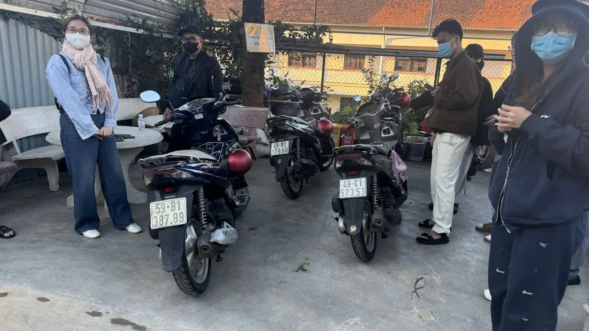
A gas scooter is the right choice for this trip — the Honda Air Blade 125cc is the most comfortable on the climbs, especially with a passenger. Electric scooters are not suitable for the road towards Lang Biang; keep them for rides around the city.
Radar Peak: jeep or on foot
The most popular viewpoint is Radar Peak (around 1,900 m), reached by a steep paved road from the tourist area. Private motorbikes usually park at the foot, and you go up either by the tourist area's jeeps or on foot:
- Jeep — the quick and easy option, a short, steep ride to the viewpoint and back. Tickets are sold at the tourist area; check the current price and timetable there.
- On foot — walking up the road is a steady climb of roughly 1.5–2 hours for most people. Bring water and start early, before the midday sun.
At the top you'll find viewing platforms, cafés and small stalls. On clear mornings the view over the valleys and Dankia Lake is wide and beautiful; in the rainy season clouds can roll in quickly, so be ready to wait a little.
Hiking to the summit
Fit hikers can follow forest trails to the higher peaks. The trail is steep, muddy after rain and not always clearly marked, so it's best to go with a local guide, start early in the morning and allow most of the day. Don't attempt it alone or in heavy rain.
When to go
- Dry season (roughly December to April) gives the clearest views.
- Morning is usually better than afternoon, when clouds and showers are more common in the rainy months.
- Weekends and Vietnamese holidays are busy; weekdays are calmer.
- The viewpoint is not a sunrise spot — for dawn clouds see our cloud hunting guide.
What to bring and safety
- A warm jacket — it's windy and noticeably cooler at the top.
- A raincoat under the seat, sunscreen, water and some cash for tickets and drinks.
- Comfortable shoes if you plan to walk.
- Ride slowly through villages, watch for farm trucks and brake gently on downhill stretches, especially when wet.
- No alcohol or beer when riding, and strictly follow Vietnamese traffic law.
Make it a half-day loop
Leave Da Lat around 7–8 am, spend a couple of hours at Lang Biang, then stop at Dankia Lake or the flower farms on the way back and be in town for lunch. More ideas are on our page What to See in Da Lat by Motorbike.
Rent a bike for Lang Biang
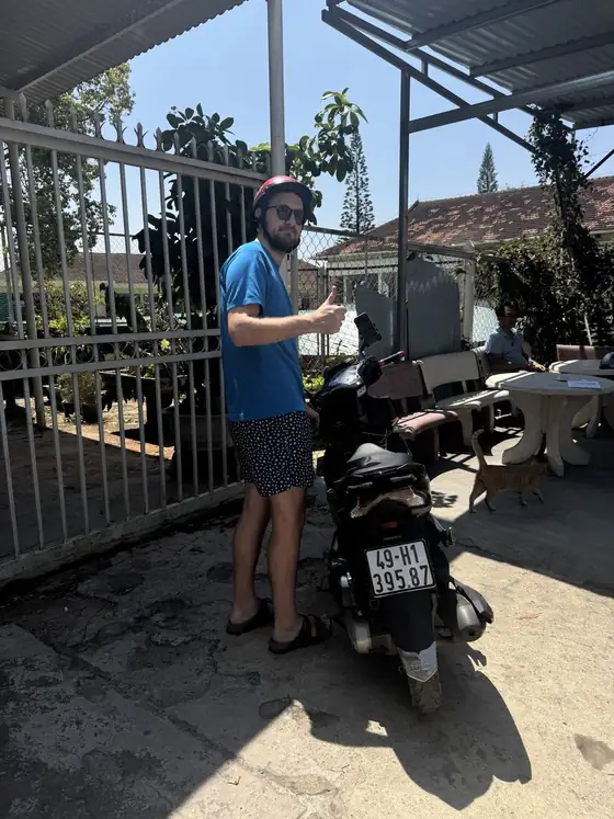
At Van Phu every bike — Honda Vision 110cc, Honda Air Blade 125cc or electric scooter — costs 150,000 VND per day, with no cash deposit (you leave your passport or ID card), a free helmet and a phone holder for Google Maps. For Lang Biang we recommend the Air Blade. Message us on WhatsApp and we'll tell you how the weather looked at the mountain that week.
Questions about Da Lat?
We'll help with routes, weather and booking a bike — just message us on WhatsApp.
Message on WhatsAppMotorbike rental in Da Lat
Honda Vision, Honda Air Blade 125cc and electric scooters — 150,000 VND per day, no cash deposit, free helmet, hotel delivery for 2+ days.